GNSS RTK GPS Receviver
| Min. Order: | 1 Set/Sets |
|---|---|
| Trade Term: | DAP,CIP,CPT,EXW |
| Payment Terms: | L/C, T/T, WU |
| Supply Ability: | 10000 annual |
| Place of Origin: | Chongqing |
Company Profile
| Location: | Chongqing, China (Mainland) |
|---|---|
| Business Type: | Manufacturer, Trading Company, Agent |
| Main Products: | GPS, Total Station, Echo Sounder, Borehole Camera, Water Level Indicator |
Product Detail
| Model No.: | H32 |
|---|---|
| Means of Transport: | Air |
| Type: | Others |
| Certification: | CE |
| Brand Name: | HI-TARGET |
| Support Satellite: | GLONASS,GPS,BDS,CALILEO |
| Channels: | 70/120/220 |
| Horizontal Accuracy(static): | 2.5mm+0.5ppm RMS |
| Vertical Accuracy(static): | 5+0.5ppm RMS |
| Startup Time: | 10s |
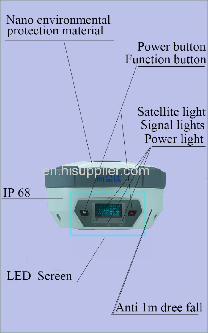
| Meterial: | Nano environmental protection material |
| Dust/water Proof: | IP67 |
| Anti-shock: | 1.5m free fall |
| Production Capacity: | 10000 annual |
| Packing: | Natural package |
| Delivery Date: | Within 10 working days after confirmed |
Product Description
The Detail Information of H32 GNSS RTK GPS Positioning Survey Equipment:
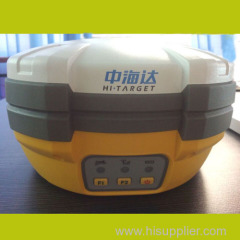
Originated from HI-TARGET's sophisticated GNSS technology, the H32 land survey GPS is a very competitive GNSS RTK system equipment on the current market with its rugged design and affordable price.
The H32's housing is made of General Electric Xenoy 5220U polymer resin to handle severe and harsh filed conditions. With its unique internal design, it can perfectly avoid or lessen obstruction and multipath effect to ensure superior positioning capability.
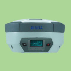
The H32's front control panel with super bright OLED display screen (Resolution 128x64) makes the work more intuitive. No matter it is in the dark or strong sunshine, the screen is comfortably readable to eyes.
*Technical Specification of The GNSS RTK GPS Survey Equipment:


*The Picture of The H32 Positioning Survey Equipment:
*Why Choose US?

*Contact US: